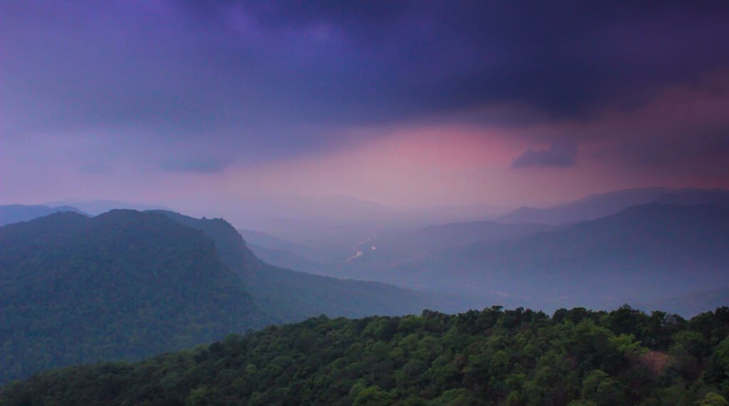
Introduction: A Monsoon Unlike Any Other
As of early July 2025, satellite radar imagery from platforms like Windy.com shows a stark pattern over the Western Ghats—a thick wall of clouds, aggressive convection activity, and almost continuous rainfall from southern Kerala to the Nilgiris. While the rest of India celebrates early rains, the Western Ghats may be paying a steep price. The question is no longer when it will rain, but how much is too much—and is the system built to handle it?
The Western Ghats: Why They’re Always the First to Drown
The Western Ghats aren’t just a UNESCO heritage site. They are one of the most rain-sensitive regions in India. Here’s why they’re always first to feel the monsoon’s fury:
- Orographic Lift: Moist air from the Arabian Sea crashes into the Ghats, rapidly rising and cooling, causing torrential rain.
- Forest Density + Slope: Thick foliage on steep terrain leads to poor water absorption and fast surface runoff.
- Poor Urban Planning: Hill stations like Wayanad and Coorg are seeing unchecked construction, which is destabilizing soil.

Radar Confirms It: South India’s Rainfall Concentration Is Shifting
According to satellite snapshots from Windy.com (July 2, 2025), the heaviest rainfall isn’t over the Indo-Gangetic plains but over southern Karnataka, northern Kerala, and parts of Tamil Nadu’s Western periphery.
Live Satellite Interpretation:
- Heavy bands of moisture are hugging the Malnad region.
- Central Kerala shows rain accumulation levels of 90–110 mm/day.
- Wind vectors from the Arabian Sea are pushing aggressively inland, uninterrupted.
Why IMD Forecasts May Not Be Enough Anymore
The Indian Meteorological Department has significantly improved, but real-time radar data often reveals a lag in risk alerts, especially for localized flooding.
Here’s a comparison:
| Region | Rainfall (Last 24 hrs) | Flood Advisory |
|---|---|---|
| Wayanad (Kerala) | 122 mm | Orange Alert |
| Madikeri (Karnataka) | 108 mm | Red Alert (landslide risk) |
| Nilgiris (Tamil Nadu) | 96 mm | Yellow Alert |
| Shivamogga (Karnataka) | 85 mm | Flash Flood Watch |
Flash Floods: Is the Risk Increasing Every Year?
Yes—and here’s what the data tells us. Between 2018 and 2024, South India saw a 45% increase in local flood events during June–July due to:
- Urban sprawl in hill towns (e.g., Madikeri, Ooty)
- Weak drainage systems
- Blocked natural water routes due to construction
Regions in Immediate Risk (as of July 2, 2025)
| Sector | Positive Effect | Negative Effect |
|---|---|---|
| Agriculture | Early sowing, better groundwater recharge | Risk of fungal disease in crops |
| Urban Areas | Improved reservoir levels | Flooded streets, traffic chaos |
| Tourism | Lush scenery boosts travel interest | Cancelled bookings due to landslides |
Crops vs. Cities: Who’s Benefiting from the Early Rains?
The irony is clear: the same rain that threatens homes in Coorg is revitalizing sugarcane and paddy fields in Mandya and Thanjavur.
Impact Analysis:
| Sector | Positive Effect | Negative Effect |
|---|---|---|
| Agriculture | Early sowing, better groundwater recharge | Risk of fungal disease in crops |
| Urban Areas | Improved reservoir levels | Flooded streets, traffic chaos |
| Tourism | Lush scenery boosts travel interest | Cancelled bookings due to landslides |
What the Radar Isn’t Telling You
While satellite visuals are helpful, they can’t predict human error. Some hidden factors that increase risk:
- Illegal mining in forest areas
- Choked storm drains in tourist towns
- Lack of automated flood gauges across hill stations
These are invisible to radar—but deadly in reality.
What Should You Do If You Live in These Areas?
- Sign up for local district disaster alerts via SMS
- Avoid hill travel during heavy rain windows (1 PM–6 PM)
- Watch live radar updates via Windy.com
- Check your panchayat’s flood evacuation plan
Conclusion: Is the Western Ghats Drowning?
It’s not just a metaphor anymore. With urban expansion, unpredictable monsoon patterns, and lagging disaster prep, the Western Ghats are facing an existential weather threat.
If nothing changes, we may no longer be asking “Will it rain?”, but rather:
“Can we survive another July like this?”
Here’s a quick checklist to follow if you’re in a high-rainfall region this week: